ABOUT US
Successful projects start with the right advice
CadCon is a development consultancy that has been established on the Sunshine Coast since 2001 servicing clients both large and small. We provide expert surveying and town planning advice, and timely, professional service to our clients across the Sunshine Coast region and greater Queensland.
The combination of surveying and town planning skills is necessary to provide comprehensive advice and information needed for successful development projects within modern land use planning and development frameworks.
CadCon is small enough to provide the personal service clients expect and large enough to provide the expertise they need to ensure projects are completed on time, on budget, to specification and in accordance with client expectations.
WANT TO KNOW MORE ABOUT CADCON?
Download our full Capability Statement today!
Why Choose CadCon
CadCon facilitates successful land related projects by:
Listening to our clients so that we understand exactly what the desired project outcomes are and then applying our expertise to best achieve those outcomes.
Ensuring our services are delivered on time and on budget.
Representing our clients’ interests to the relevant authorities. Liaison and negotiation are often very critical to a successful project.
Preparing and lodging professional development applications. A comprehensive application minimises information requests, enables us to anticipate the detail of the approval and encourages timely approvals.
Providing expert project management of the development application process. Coordination of fellow consultants, Councils, Governments and Contractors ensures communication is consistent, accurate and in accordance with client expectations and desired project outcomes.
Providing feasibility analysis of regulatory and practical constraints and opportunities for development sites is critical to a successful project.
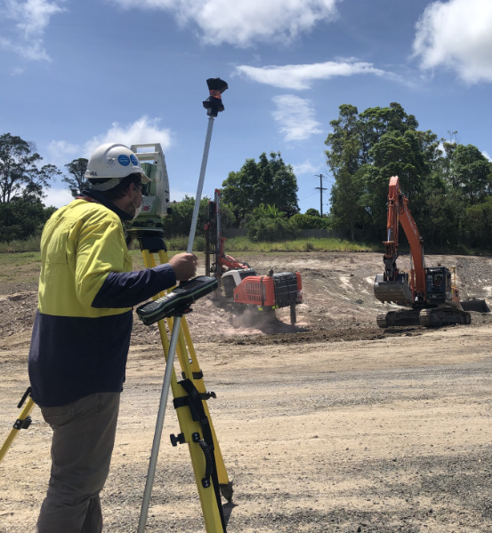
Providing expert construction, detail, boundary and mapping surveys and GIS analysis. Accurate survey and mapping enable efficient and realistic development design and subsequent feasibility studies and facilitates a comprehensive development application to enable approvals that match the desired project outcomes.
All jobs are fully documented, traceable and able to be picked up seamlessly by other staff.

CadCon Surveying & Town Planning is proud to be a member of the following organisations:
